About 600 meters (loop); unpaved path
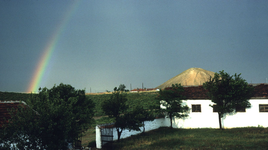
Tumulus MM is the largest of over 100 ancient burial mounds in the area around Gordion. It still stands over 50 m high. It was constructed sometime around 740 BC to cover the tomb of a Phrygian king, most probably the father of King Midas. This tour will guide you around the tumulus, and into its cool interior. You can also navigate directly to plant pictures. If you have time, you might want to try the Gordion Landscape Overview tour from the top of Tumulus P, South Ridge historical overview tour, or Citadel Mound circuit supplement.
Did it always look like this?
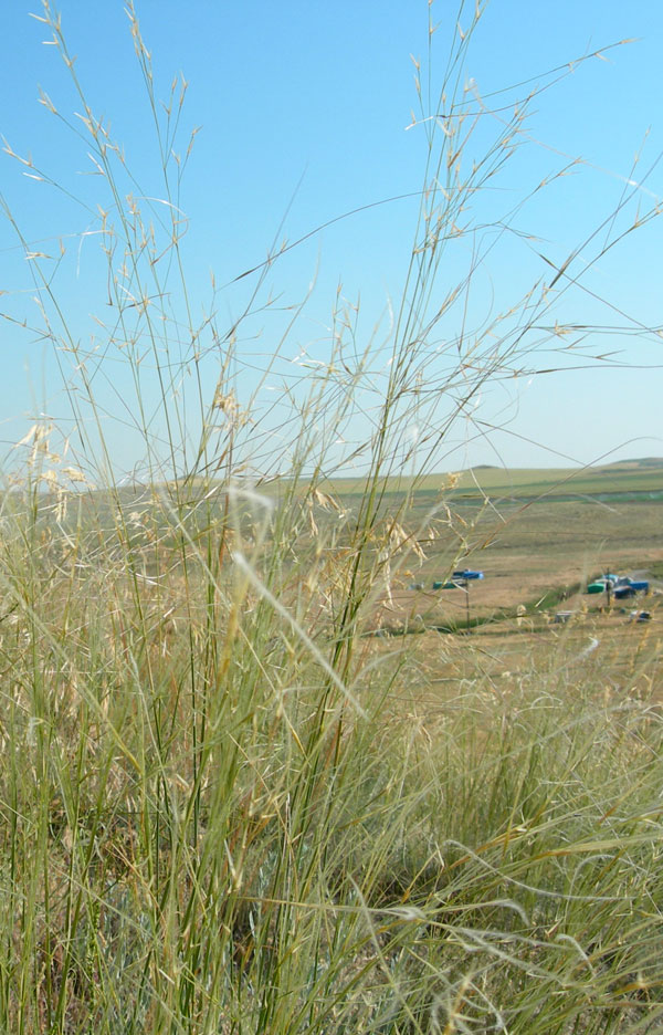
It is very hard for plants to gain a foothold on the steep upper slopes
of the tumulus, and until the fence was erected in 1996, grazing flocks
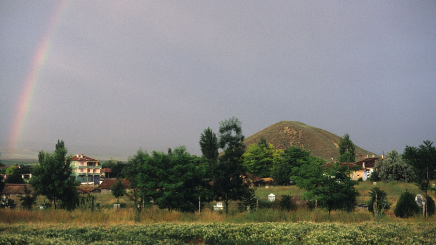
also reduced the vegetation cover substantially. In 1988, the bare ground
of Tumulus MM almost glowed in the late afternoon sun; by 2002, a rich
diversity of plants grew on the mound.
Why is there a fence around the Tumulus?
We are trying to reduce wind and water erosion on Tumulus MM by getting a continous cover of plants to grow. We are particularly encouraging plants native to the central Anatolian steppe, as they are adapted to local conditions. The fence protects the plants from grazing animals and from trampling by people.
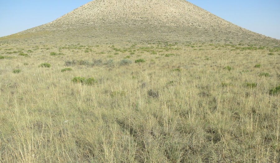
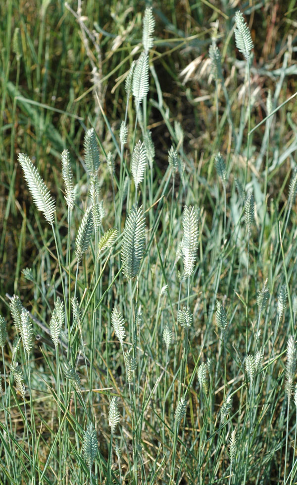
Grasses are great!
Perennial grasses are an important component of central Anatolian steppe
vegetation. They provide a dense mat of vegetation year-round, because
they live from one year to the next through the dry summer season.
Perennial grasses stay green longer than the annual grasses and produce
less potentially flammable dry matter.
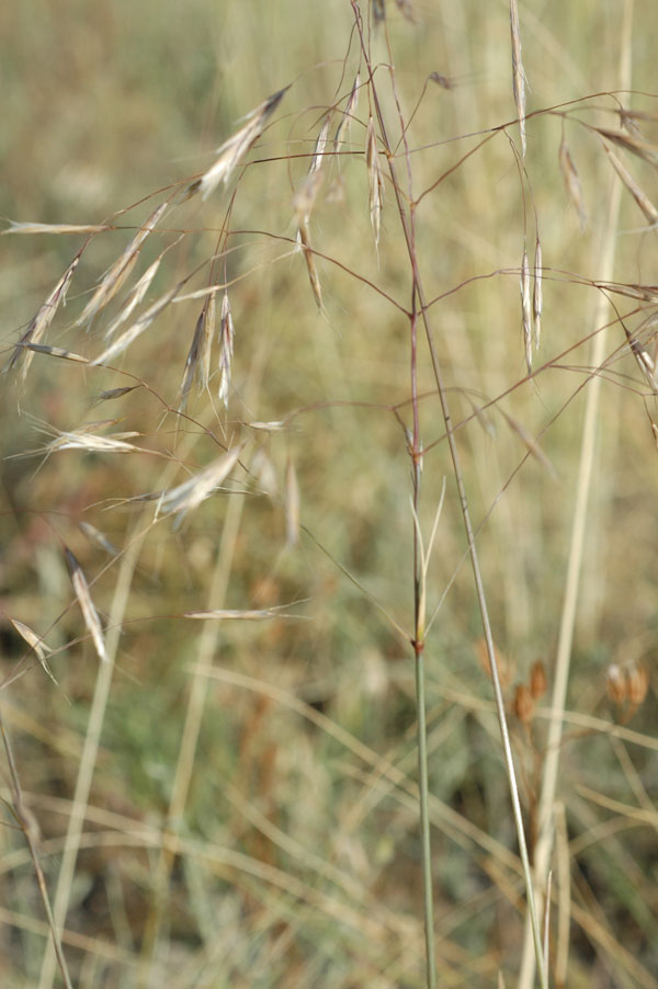
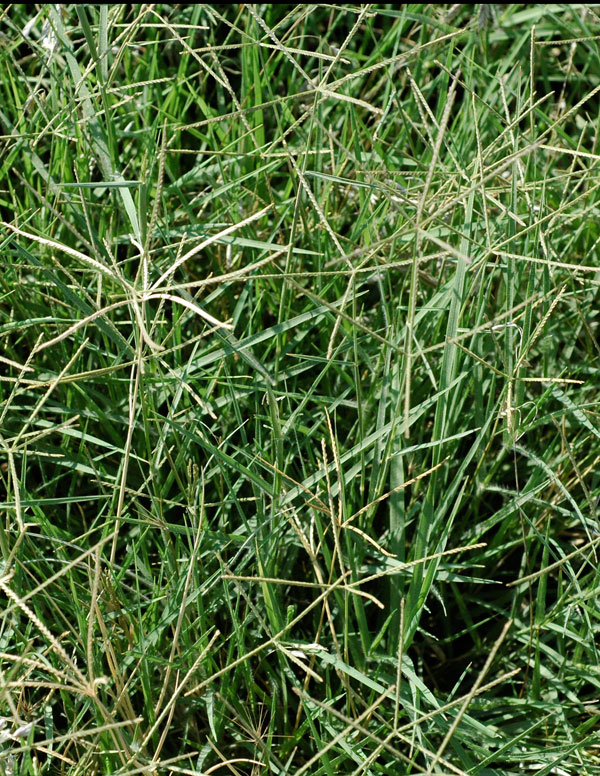
There is a particularly high density of annual grasses on the southern and
eastern sides of the tumulus—in this area they usually ripen and turn
brown by mid-June. Perennial grasses grow better on the north and west
sides. You can recognize them even from a distance because they grow in
clumps and have tall spikes that wave in the breeze in late spring and
summer.
If you walk around the tumulus you can see some interesting features of
the vegetation. Note particularly that the variety and density of plants
within the fence is much greater than in the unprotected area around the
outside, and the vegetation changes as you walk around the mound (different
'aspect', from southwest-facing clockwise to south-facing) and according
to slope.
Now we can start the tour.
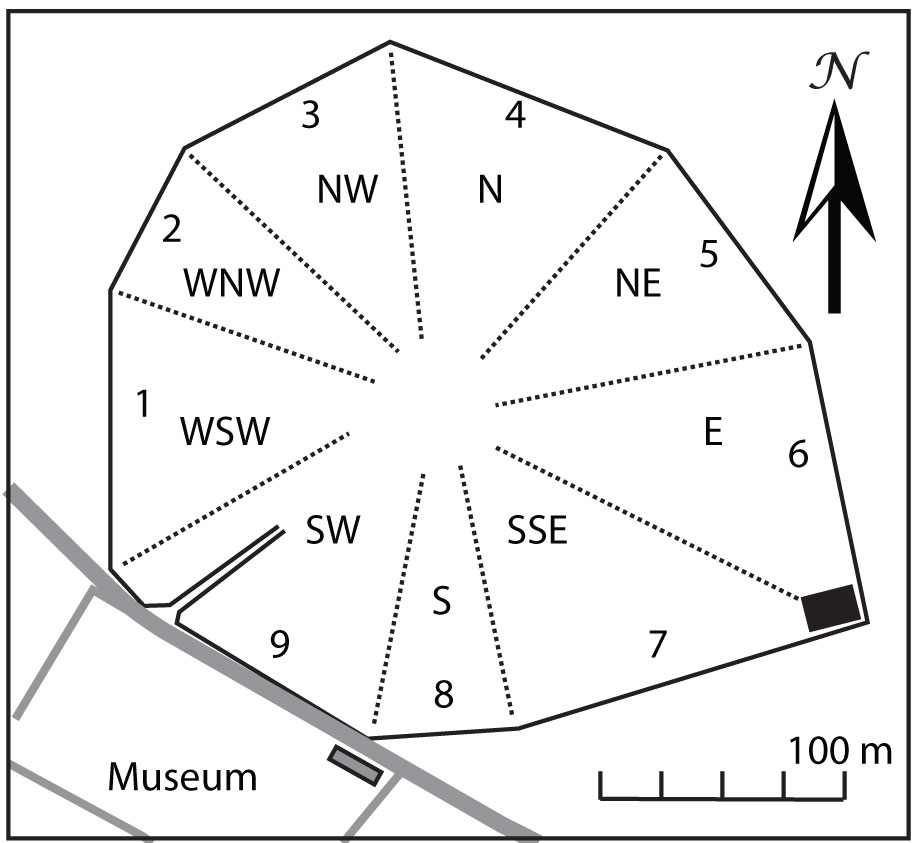
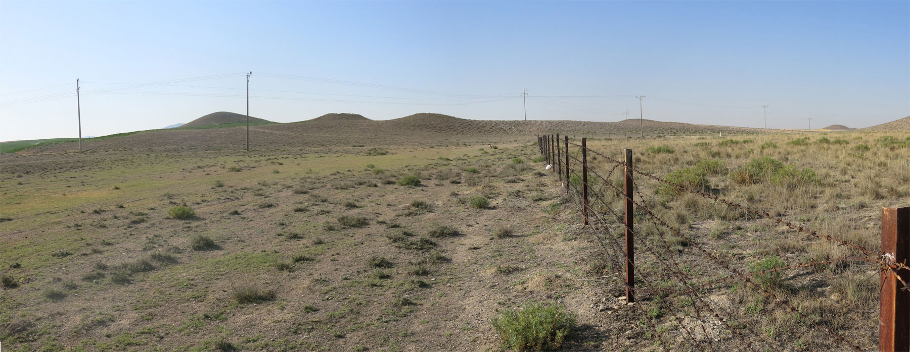
Face the entrance (northeast) and walk in a clockwise direction. The
fence is an irregular polygon with 9 angles. Sections are indicated by
number, and corner posts with "/" between the section numbers.
This tour will be a lot easier for you if you orient yourself to the
cardinal directions with the help of the plan of the mound. At the end are
some photographs of some of the more common plants.
Entrance
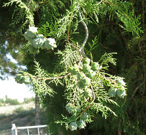
Cypress (Cupressus sempervirens), pine (Pinus nigra), and cedar (Cedrus libani) make it hard to see the tumulus at ground level. In this zone of natural steppe, trees must be carefully tended and watered in order to grow.
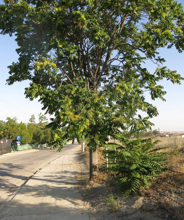
Street side
Follow the fence to your left. Tree-of-Heaven (Ailanthus
altissima) has been planted within the fence along the sidewalk.
It spreads by both seed and runners, and helps hide Tumulus MM at street
level.
Section 1
As you walk along Section 1, you will see a white cliff, a gypsum outcrop called Kızlarkayası, in the distance. Following the horizon line downhill to the right, a large tumulus comes into view. Tumuli were meant to be seen; as you walk around, you will see many both close and far. The first village of Yassıhöyük was established at the base of the cliff in the early 20th century. The inhabitants moved to the present location in the 1920s because of malaria and for security (during the War of Independence).
Section 2/3 boundary
The flat area on the plain ahead of you is green year round with the perennial, bermuda grass (Cynodon dactylon). Shepherds water their flocks here in the morning. DO NOT get between a dog and its flock. The white cliff is ahead to the right. The soils from this area may have been brought to MM to give it a light color; before the fence was erected, the mound shone in the raking light of morning and evening.
Section 3
The mountain Çile Dağı is on the horizon; you should be able to see a large tumulus that appears as a small bump downhill to the right on the horizon line.
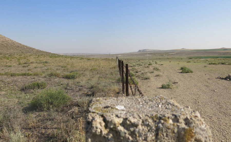
Section 5
As you leave the north side of the mound, the plants have to endure
harsher conditions. Before the fence, the flocks would pass by here daily,
and higher up, the dry side of the tumulus is also hard on plant life. The
photograph below was taken from the Section 4/5 corner toward the tumuli
to the south. Even in the drought year of 2014, the vegetation differences
are clear.
Section 6
There is a lot of Syrian rue (Peganum
harmala) (green) and brome grass (Bromus
tomentellus) near the fence on the inside. In the absence of
grazing pressure the bermuda grass declines, but outside the fence it
grows as densely as a lawn.
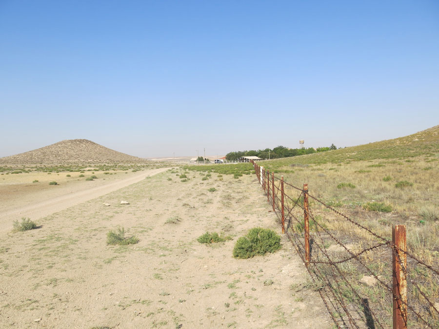
Section 6/7
The sharp, right-angled corner of the fence was extended in order to
protect a small section of the excavated ancient Roman road. Looking back
along Section 6 you can see Kızlarkayası (to the north), and Tumulus P and
the museum along Section 7 (to the southwest).
Section 8/9
Section 8/9 is marked by the Yassıhöyük sign. Tree-of Heaven (Ailanthus
altissima), a planted tree, has been spreading along the fence line,
and just inside the fence winterfat Krascheninnikovia bushes thrive. At
the corner of the Museum grounds is a small native plant garden; cross the
street to get a preview.
If you are interested in the particulars of the plants, read on:
Section: Street
Aspect: southwest
Common plants near fence: Peganum harmala, annual grasses
Section 1
Aspect: west-southwest
Common plants near fence: Peganum harmala, Noaea mucronata,
Artemisia sp. sp., Stipa holosericea,
Aegilops sp.
Section 2
Aspect: west-northwest
Common plants near fence: Stipa holosericea, fewer annual grasses;
Krascheninnikovia ceratoides, Salsola laricina
Section 3
Aspect: northwest
Common plants near fence: Stipa holosericea, Peganum harmala,
Salsola laricina, Festuca ovina, Krascheninnikovia
ceratoides
Section 4
Aspect: north
Common plants near fence: Peganum harmala, Festuca ovina,
Stipa holosericea, Artemisia sp., and higher up, large
Krascheninnikovia bushes
Section 5
Aspect: northeast
Common plants near fence: Stipa holosericea, Bromus
tomentellus, Agropyron cristatum, Peganum harmala
Section 6
Aspect: east
Common plants near fence: Peganum harmala, Bromus
tomentullus, Stipa holosericea, Agropyron cristatum
Section 7
Aspect: south-southeast
Common plants near fence: Peganum harmala, Hordeum murinum,
Noaea mucronata, Stipa holosericea
Section 8
Aspect: south
Common plants near fence: Peganum harmala, Hordeum murinum,
Stipa holosericea
Section: Street
Aspect: southwest
Common plants near fence: Krascheninnikovia ceratoides, Peganum
harmala, cultivars
Trees
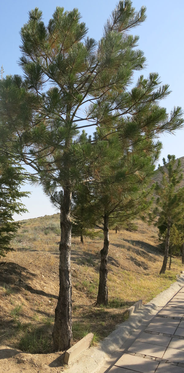
Pinus nigra (black pine/karaçam)
The dominant tree in the mountains 50 km to the west; used for inner wall
of MM tomb chamber
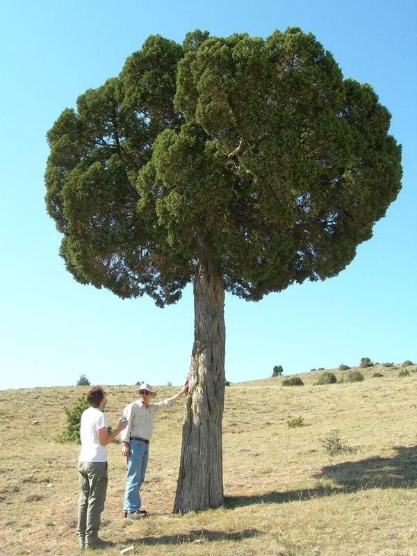
Juniperus excelsa (juniper/ardıç)
Along with oak, a dominant tree about 20 km to the west; used for the
outer casing of the MM tomb chamber
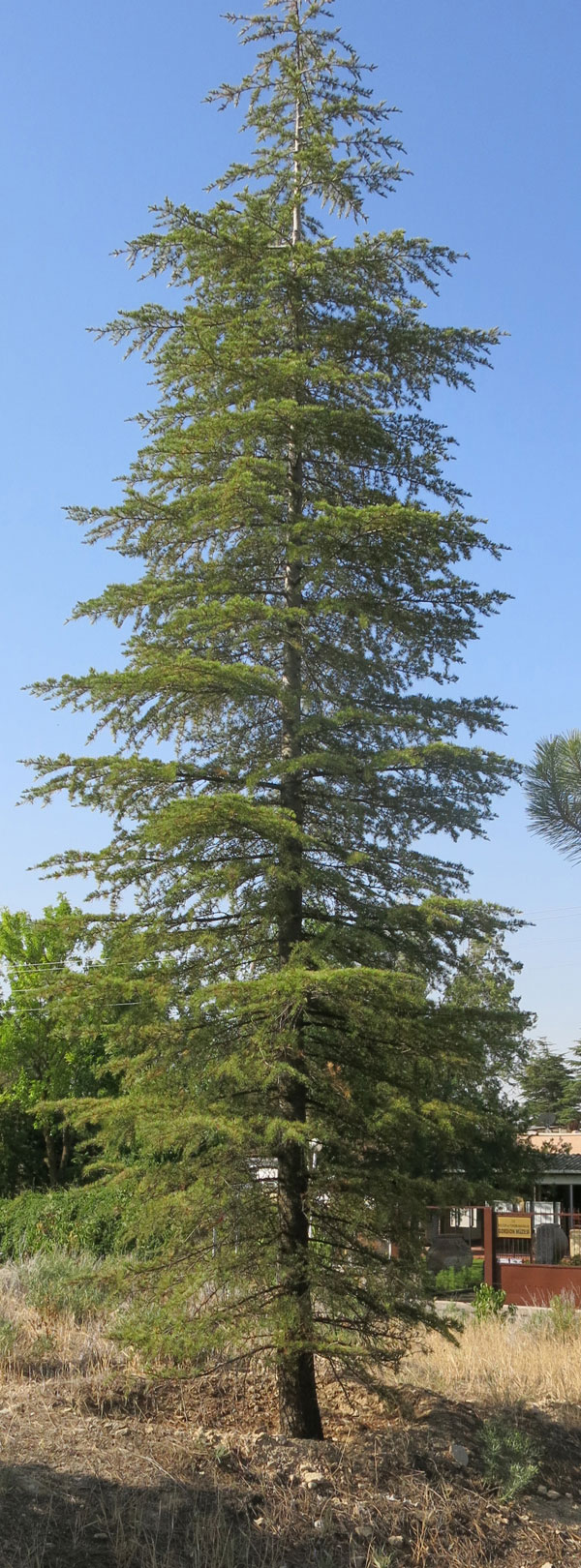
Cedrus libani (Lebanon cedar/sedir)
Imported from several hundred km; used as flooring and in the coffin; a
luxury item
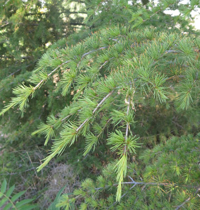
Cupressus sempervirens (cypress/selvi, servi)
I'm not sure why it was planted here
Ailanthus altissima (tree-of-heaven/)
Native to China, widely cultivated as a street tree in Turkey
Grasses
Aegilops spp. (goat-face grass/)
There are at least four species of this annual grass growing on MM. Here
are two of them:
Aegilops umbellulata
Ae. geniculatum
Agropyron cristatum (crested wheatgrass/)
A perennial grass that spreads by underground stems
Bromus tomentellus (bromegrass/)
A perennial bunchgrass
Festuca ovina (sheep fescue/)
A perennial bunchgrass

Cynodon dactylon (Bermudagrass/ayrık otu)
Perennial grass that spreads by underground stems
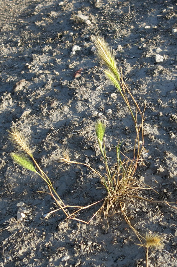
Hordeum murinum (wall barley/iyecen)
Ubiquitous annual whose seeds will get in your socks
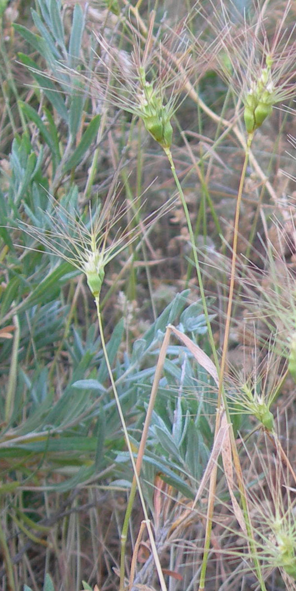
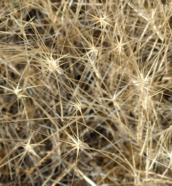
Stipa holosericea (feathergrass/)
Perennial bunchgrass; towards the top of MM in the S and SE sector the
related plant, Stipa arabica, waves in the breeze in June or July.
Broad-leaf perennials
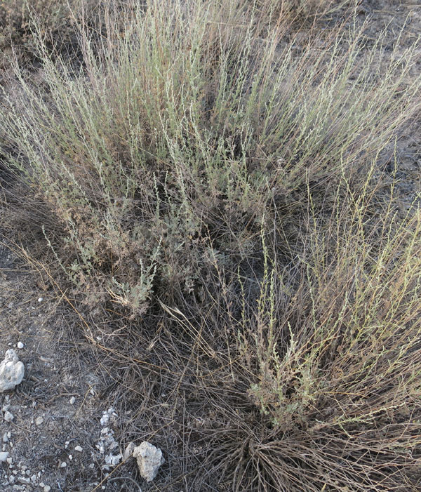
Peganum harmala (Syrian rue/üzerlik)
Its bitter alkaloids are a defense against grazing
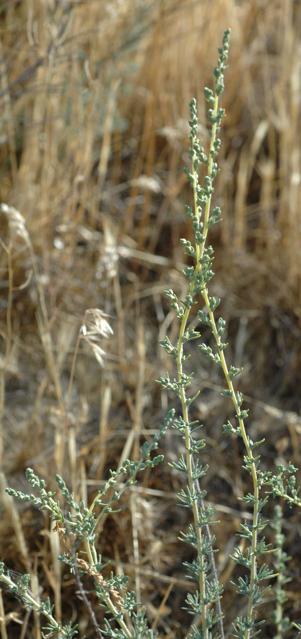
Artemisia sp. (wormwood/yavşan)
The leaves are very aromatic when crushed
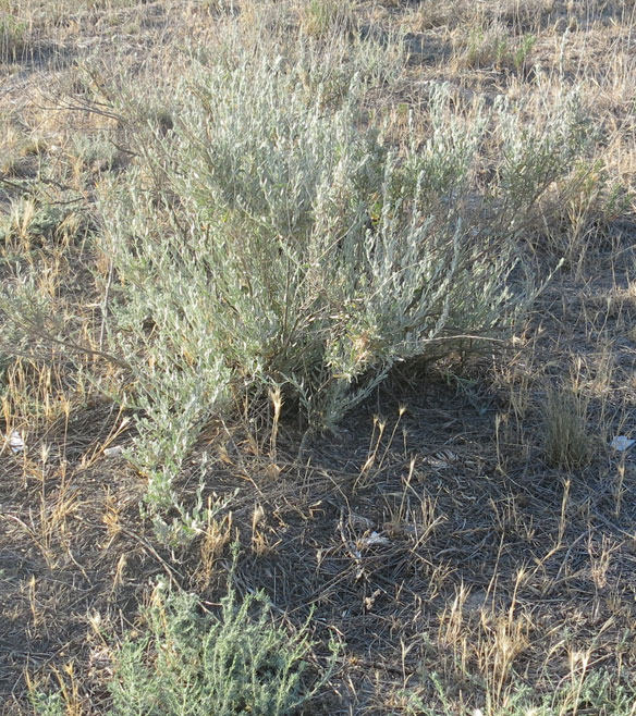
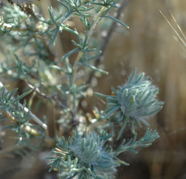
Krascheninnikovia ceratoides (winterfat/horot)
Sheep and goat eat this in the winter, when tastier plants are unavailable
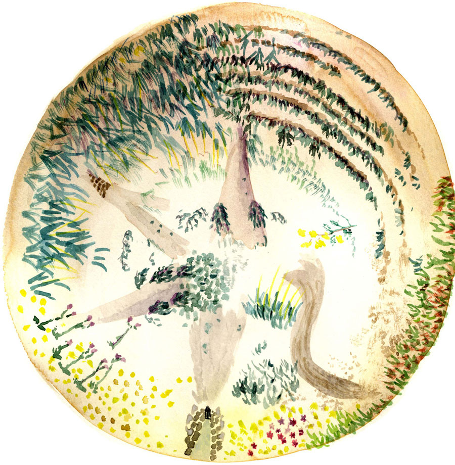
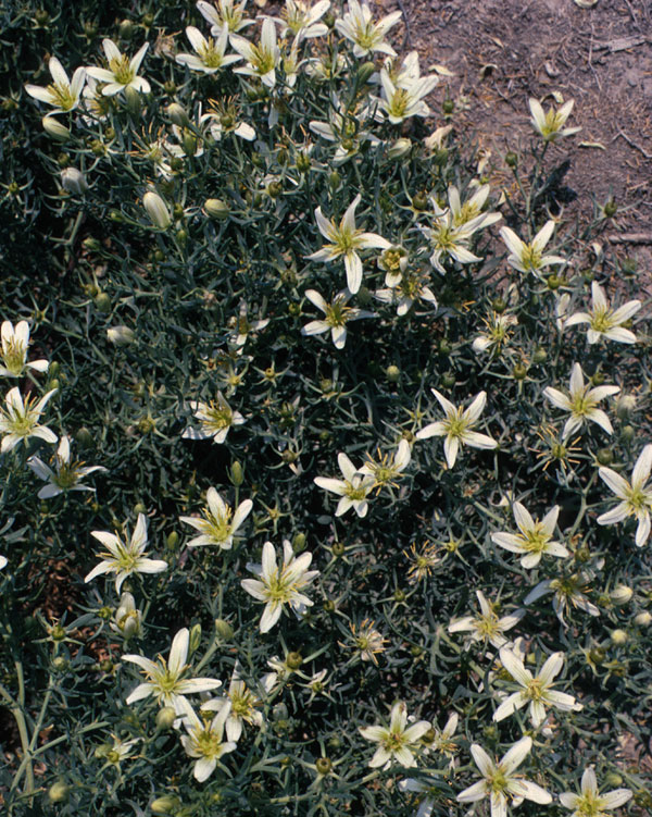
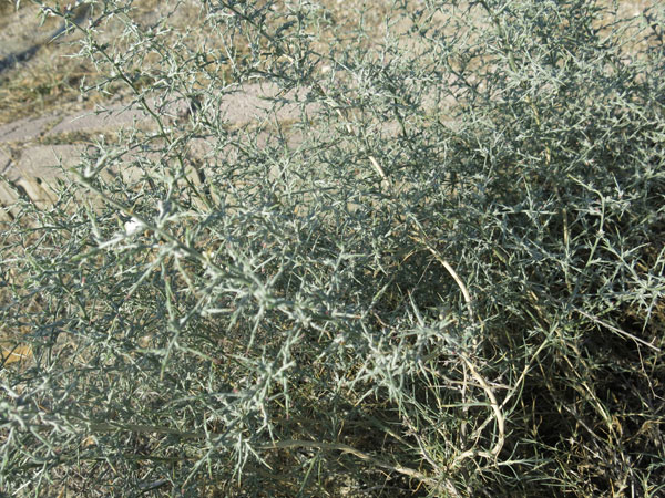
Salsola laricina (saltwort/), male and female flowers shown
Common on MM, it is heavily grazed beyond the fence
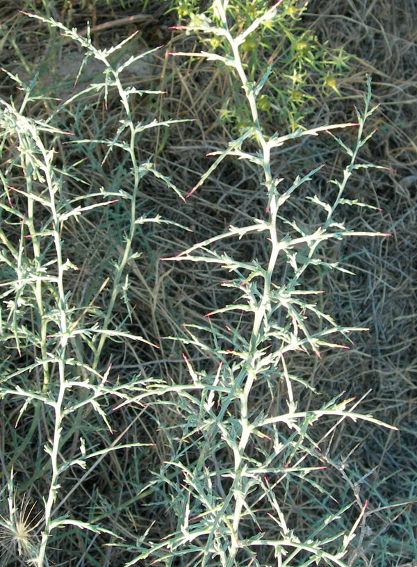
Noaea mucronata (thorny saltwort/)
Its spines are a defense against grazing
NOTE: I prepared this self-guided tour in the summer, 2014. It is based on
many publications and conversations over the years with Ayşe Gürsan-Salzmann, Ben Marsh, Mecit Vural, Mary Voigt, and many other Gordion team
members. If you have any comments or corrections, feel free to contact me
at < nmiller0@sas.upenn.edu >. Fieldwork for this project was funded by the
University of Pennsylvania Museum, Philadelphia. The views expressed
here are mine alone.
Naomi F. Miller, July, 2014
www.sas.upenn.edu/~nmiller0/Tour_MM_circuit.html
What's underneath all that dirt?
Tumulus MM is the largest of over 100 man-made mounds of earth, clay and stone used to cover and mark an important burial at Gordion. Inside MM is a wooden tomb chamber created around 740 BC for the burial of a man who must certainly have been a king (probably the father of the famous King Midas). The tomb chamber itself is the oldest standing wooden building in the world. You enter the tumulus today first through an open trench and then through a 70-meter-long tunnel, both dug by the excavators in 1957. This has created a cave-like environment for the tomb chamber that stays around 60° F (15.5° C) throughout the year. This naturally low temperature and humidity level prevents any fungus from attacking the wood. Several modern devices around the tomb are being used to monitor any movement in the ancient logs and any changes in environment.
What's at the end of the tunnel?
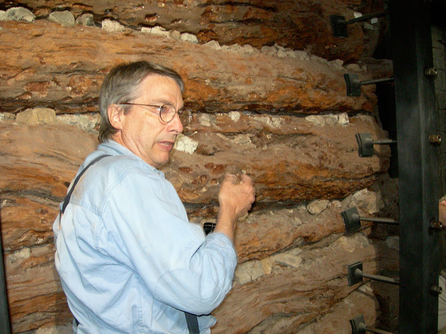
When you reach the tourist fence at the end of the tunnel, you are
looking at the northwest corner of the tomb chamber. The first wall of
wood is made of roughly trimmed juniper logs, with notches and mortise
holes at their large ends that were cut for transporting the logs out of
the forest: the notch fit over an axle between two wheels, and the hole
fit over a peg in the axle. The log was turned into a kind of wagon. The
space in which you are standing was originally filled with thousands of
rocks. Some of the rocks were pressed so hard into the wood they dented it;
you can also still see some set between the modern concrete pillars on
your left; this rubble filling was all that held the juniper logs in
place (the steel support system holding them now was installed in 2002,
replacing an earlier set of supports).
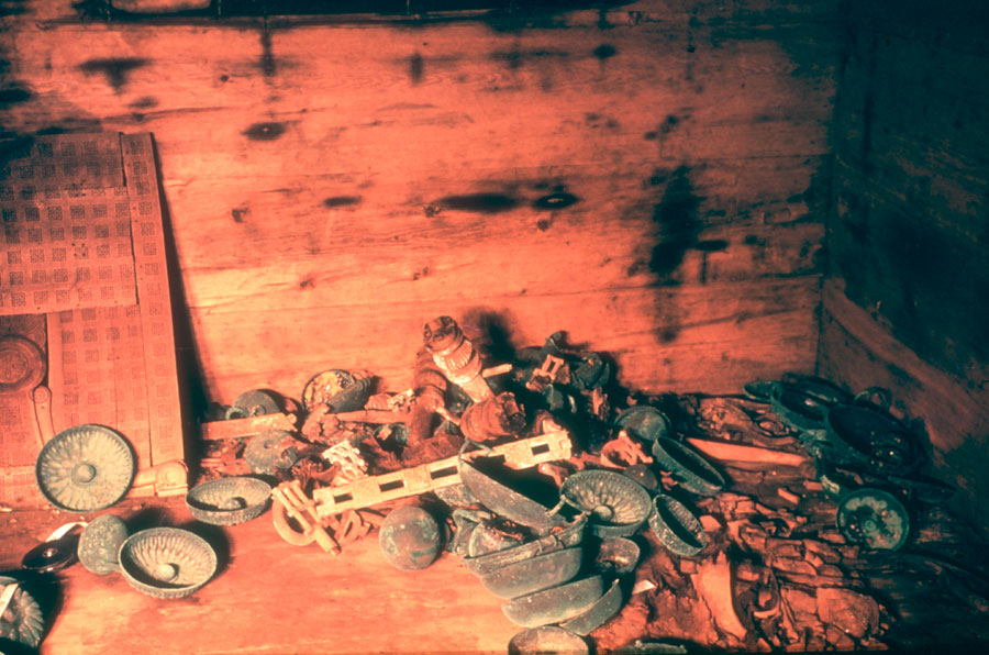
What was in the chamber?
On your right, you will see the entrance cut through the juniper logs
during the 1957 excavation; originally there was no door, since the tomb
was never meant to be opened after the burial. More rubble filled the
space between the juniper logs and the finely worked pine wall beams of
the tomb chamber proper (most of this rubble is still in place). When the
excavators cut through the pine wall, they found themselves literally at
the foot of the dead king, whose remains lay on what was left of his cedar
coffin. His body and all the equipment from the funeral banquet were
placed in the tomb from above after the chamber had been built to the roof
level. Today, the tomb chamber is empty: a few bronze artefacts can be
found in a case in the Gordion Museum, but most of the material is now
housed in the Museum of Anatolian Civilizations at Ankara.
How was the chamber constructed?
The pine and juniper used for construction were locally available, but the cedar floor beams (and coffin) were imported, probably as a form of diplomatic exchange between kings. The tomb was constructed using basic chopping tools: the axe, the adze, and the chisel. Saws were apparently used only for smaller wooden objects, like the furniture that can be seen on display in Ankara. Unlike the other excavated flat-topped wooden tomb chambers at Gordion, this tomb has a double-pitched roof, like the megarons on the Citadel Mound. Everything about its construction was designed to keep the tomb chamber proper intact, with simple notches typically used to join beams at their ends. The builders got this exactly right: despite the bending and cracking of many of the pine timbers you can see inside the tomb chamber, the roof and walls never failed. The king and his funerary offerings were still protected in space, even though time had taken a toll on the remains.
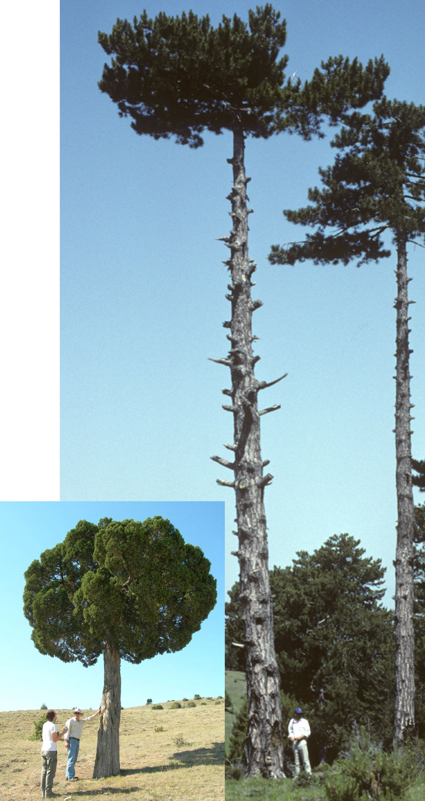
In these two photographs, Richard Liebhart serves as scale for the
juniper (short) and pine (tall). This juniper grows 20 km from Gordion,
and the pine forest is about 50 km from the site.
How was the tomb excavated?
After the excavation, the rubble was mostly cleared from around the wooden tomb chamber, and the concrete shell that you see surrounding the tomb was completed in 1961. Given the dangerous working conditions facing the Turkish engineer and his team, this concrete structure is itself a remarkable monument, despite its somewhat rough appearance. The tunnel was lined with stone and concrete in 1963, and the contractor was thoughtful of later archaeologists when he left the date and his name in a pair of concrete ceiling slabs part way down the tunnel. The outer trench was lined with stone in 1978. Now both tourists and researchers can safely visit this unique tomb.
Richard Liebhart, 2014